Biting Winds and Shivering Skies: San Francisco’s Blustery Saturday Forecast
A Chilly Start to the Weekend
San Francisco residents are waking up to a particularly crisp and unsettled Saturday this February 21, 2026. While the heavy downpours seen earlier in the week have largely moved out of the region, they have been replaced by a stubborn cold air mass and significant wind activity. Today is characterized by temperatures sitting nearly ten degrees below the seasonal average, making for a day that feels more like the heart of winter than the approach of spring. Although the city is expected to remain mostly dry through the daylight hours, the lack of sun and the presence of biting southerly winds mean that heavy coats and windbreakers are the order of the day.
Morning, Afternoon, and Evening Predictions
The early morning hours were particularly harsh, with the city emerging from an Extreme Cold Warning that remained in effect until 9:00 AM. In the pre-dawn hours, temperatures hovered near the mid-40s, with inland areas and higher elevations feeling significantly colder. As we transition into the afternoon, the primary weather story shifts from temperature to wind. A tightening pressure gradient ahead of a storm system in the Pacific Northwest is driving strong southerly winds across the peninsula.
- Morning: Expect overcast skies and lingering cold. Temperatures will struggle to climb out of the 40s before noon. Humidity remains high at approximately 79%, adding a damp chill to the air.
- Afternoon: This will be the windiest part of the day. Sustained winds are expected to reach 20 to 35 mph, with occasional gusts in the city reaching up to 40 mph. High temperatures will peak modestly between 56°F and 59°F.
- Evening: Clouds will thicken as the sun sets, and winds will begin to ease slightly but remain breezy. Temperatures will drop back into the low 50s and high 40s, with a 10% to 20% chance of a stray sprinkle as moisture begins to build for tomorrow.
Official Warnings and Marine Alerts
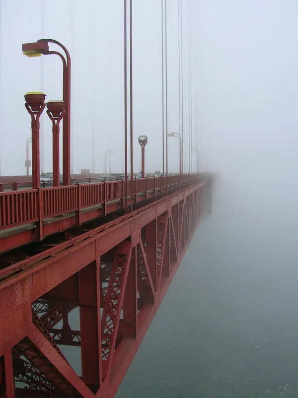
Public safety officials have issued several notices for the day. While the Extreme Cold Warning has expired, a Small Craft Advisory remains active for the coastal waters and the San Francisco Bay. Boaters are urged to exercise extreme caution as choppy seas and hazardous conditions are expected to persist throughout the weekend. Additionally, residents at elevations above 500 feet should be aware that wind gusts could reach 45 mph, potentially causing minor tree damage or loose objects to drift.
Looking ahead, while Saturday remains mostly dry, this is merely a brief reprieve. Meteorologists are monitoring a warm atmospheric river slated to arrive by Monday, which is expected to bring widespread heavy rain and further wind alerts to the Bay Area. For now, enjoy the dry break, but keep the winter gear close at hand.