Coastal Alerts and Overcast Skies: Navigating Today’s Bay Area Conditions
Coastal Hazards and Cloudy Shifts: What to Expect Today
San Francisco residents and visitors can expect a transition in the weather today, Friday, February 6, 2026, as a ridge of high pressure begins to give way to cooler marine air. While the earlier part of the week saw unseasonably warm conditions across the Bay Area, today marks a subtle shift toward more typical February patterns, characterized by increasing cloud cover and a significant coastal safety warning that requires the attention of all beachgoers.
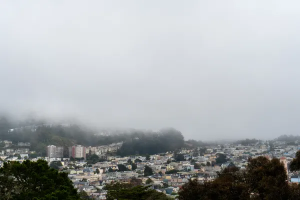
Morning Fog and Overcast Starts
The day begins with a thick marine layer pushing into the bay, resulting in overcast skies for much of the city. Morning commuters should be prepared for patchy fog, particularly near the Golden Gate Bridge and coastal highways, which may reduce visibility during the early hours. Temperatures will start in the low 50s, making for a crisp start to the work day. While the sun may attempt to break through mid-morning, the city is expected to remain predominantly cloudy through the noon hour.
Mild Afternoon Temperatures
By the afternoon, the mercury is expected to reach a high of approximately 63°F to 65°F. While slightly cooler than the peak temperatures recorded earlier in the week, it remains relatively mild for mid-winter. Winds will remain light to moderate, though a steady sea breeze is anticipated to pick up along the western edge of the city. For those heading out for lunch or afternoon errands, light layers are recommended to stay comfortable as the marine influence keeps the air feeling brisk despite the moderate temperatures.
Evening Cooling and Coastal Drizzle
As the sun sets, the marine layer will thicken and move further inland. Evening temperatures will dip back toward a low of 50°F. There is a slight 15% to 20% chance of patchy drizzle or light rain after dark, particularly in the western neighborhoods. Residents should look out for returning fog, which could once again impact visibility for late-night drivers near the coast and in higher-elevation areas like Twin Peaks and Mt. Davidson.
Critical Beach Hazards Warning
The most important weather notice for today is a Beach Hazards Statement issued by the National Weather Service, which remains in effect through Friday evening. Coastal conditions are currently dangerous due to long-period swells. Key safety points include:
- Sneaker Waves: Large, unexpected waves may surge much further up the beach than others, capable of sweeping individuals into the cold Pacific waters without warning.
- Elevated Surf: Breaking waves and strong rip currents make the coastline particularly hazardous for swimmers and inexperienced surfers today.
- Safety Advice: Officials urge the public to stay well back from the water's edge, stay off coastal jetties, and never turn your back on the ocean.
Today's Forecast at a Glance
- High Temperature: 65°F
- Low Temperature: 49°F
- Condition: Mostly cloudy with evening fog and a chance of drizzle.
- Wind: Light sea breezes from the West.
- Alerts: Beach Hazards Statement in effect through tonight.