High Tides and High Surf: Navigating Thursday's Coastal Alerts
Overview of the Day
The weather in San Francisco today, Thursday, January 29, 2026, presents a tale of two environments: a pleasant, mostly sunny afternoon within the city, contrasted with significant safety warnings along the Pacific coastline. While residents can expect comfortable temperatures and clear skies for much of the day, the National Weather Service has issued critical alerts for anyone near the water or in low-lying shoreline areas.
Morning: Cloudy Starts and Rising Tides
Early risers in the city will encounter predominantly cloudy skies through the morning commute. Temperatures will start in the low 50s, gradually warming as the sun begins to break through the cloud cover. However, the most notable event of the morning is the high tide. At the San Francisco tidal gauge, a peak tide is expected around 7:34 a.m., reaching approximately 1.2 feet above normal levels. This astronomical tide, combined with a minor storm surge, may cause minor inundation in low-lying areas near tidal waterways.
Afternoon: Peak Temperatures and Sunny Spells
By midday, the clouds are expected to scatter, giving way to a mostly sunny and crisp afternoon. Temperatures will reach a daytime high between 60°F and 64°F, depending on the neighborhood, which is slightly above the seasonal average for late January. Winds will remain relatively light, blowing from the north-northeast at speeds of 5 to 10 mph. This makes for an excellent afternoon for outdoor activities in the city's parks, provided you stay away from the immediate shoreline.
Evening: Cooling Down and Clouding Over
As the sun sets, San Francisco will see a return of cloud cover and a noticeable drop in temperature. Evening lows are forecasted to dip into the mid-to-high 40s. The humidity will rise to approximately 70% to 80% overnight, though the chance of precipitation remains very low, at less than 10%. It will be a cool, dry night for the region, though the coastal alerts will remain in effect through the early hours of the next day.
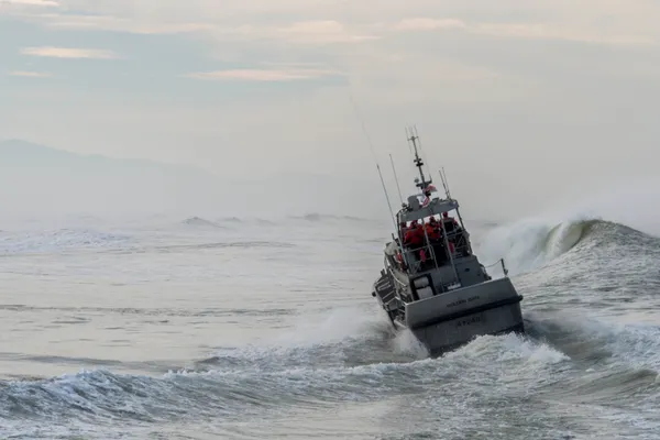
Critical Coastal Advisories and Safety
The primary concern for today is the hazardous state of the ocean and shorelines. Two specific alerts are currently active for San Francisco County:
- Coastal Flood Advisory: Valid from 6:00 a.m. today through Sunday, this advisory warns of potential flooding in lots, parks, and roads near the coast. Up to 1.4 feet of inundation is possible in vulnerable areas.
- Beach Hazards Statement: Active until Friday morning, this notice warns of an increased risk of sneaker waves and strong rip currents. Breaking waves are expected to reach heights of 14 to 19 feet along Pacific Coast beaches.
Authorities advise residents and visitors to stay off jetties, piers, and coastal rocks. Never turn your back on the ocean, as sneaker waves can appear without warning and pull individuals into the cold, turbulent water.