Partly Sunny Skies Return: A Gentle Pause Before Midweek Gusts
A Brighter Turn for the City
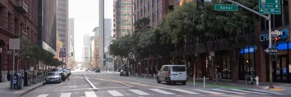
San Franciscans can breathe a sigh of relief this Tuesday, March 3, 2026, as the damp and drizzly conditions that marked the start of the week begin to recede. Following a Monday characterized by gray skies and intermittent showers, today promises a welcome weather reset for the Bay Area. While the morning may still hold a touch of that classic coastal moisture, the overall trend for today is one of gradual clearing and mild spring temperatures.
Morning: Foggy Beginnings
The day starts with a cool and damp embrace across the peninsula. Residents waking up in the Sunset or Richmond districts can expect a lingering layer of morning fog and high humidity, which sat near 100% in the pre-dawn hours. Temperatures will start in the low 50s, specifically around 51°F. If you are heading out for an early commute or a walk along the Embarcadero, a light jacket is highly recommended, as the moisture in the air will make the morning feel slightly crisper than the thermometer suggests.
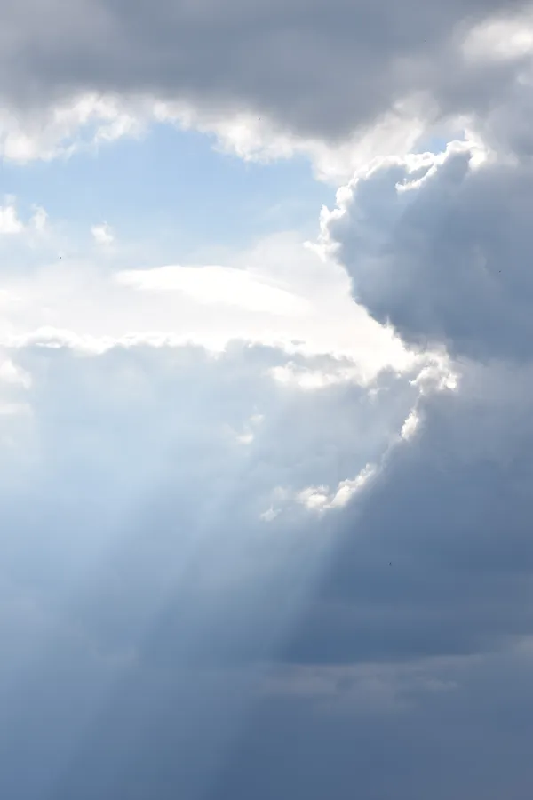
Afternoon: The Golden Gate Glow
By midday, the sun is expected to win its battle against the cloud deck. The forecast calls for partly sunny conditions throughout the afternoon, allowing for a modest warmup. Temperatures will reach a pleasant peak of 60°F, which is typical for early March in San Francisco. Winds will remain relatively light and variable for the bulk of the day, providing a perfect window for outdoor activities or a lunch break in Yerba Buena Gardens. The chance of measurable rain during the daylight hours is negligible, holding steady at just 5%.
Evening and Overnight Outlook
As the sun sets, the cloud cover is expected to thicken once again, leading to a mostly cloudy night across the city. The mercury will dip back down to an overnight low of 51°F. While the city remains largely dry, there is a slight 10% chance of a stray shower or patch of drizzle overnight as a low-pressure system continues to move through the Pacific Northwest. Humidity will remain elevated at approximately 85%, maintaining a cool, damp atmosphere through to Wednesday morning.
Looking Ahead: Wind Advisories on the Horizon
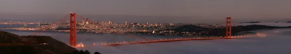
While today offers a peaceful pause, the National Weather Service is already tracking a significant shift starting tomorrow. A strengthening ridge of high pressure is predicted to bring much breezier conditions to the region by Wednesday afternoon. Residents should take advantage of today's calm weather to secure any loose patio furniture or outdoor decorations, as northwest wind gusts could reach between 35 and 40 mph along the coast and in the city’s higher elevations later this week.
San Francisco apartment rent growth accelerates again as limited supply and tech demand tighten market conditions
Fog, Festivities, and First Thursdays: Your San Francisco Morning Briefing