San Francisco updates High-Injury Network map, identifying corridors where most severe and fatal crashes occur
An updated citywide risk map
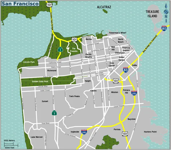
San Francisco has released an updated High-Injury Network map, a planning tool that identifies the corridors where severe and fatal traffic injuries are concentrated. The update finds that 13% of the city’s streets account for 74% of its most severe crashes, a shift from the prior update showing 12% of streets accounting for 68% of severe and fatal collisions.
The latest map is built from 2020–2024 data and draws on multiple records used in the city’s traffic-injury surveillance work, including law-enforcement collision reports, hospital records, and emergency medical response information. The network is intended to guide where engineering changes, education efforts and enforcement resources can have the greatest impact on reducing deaths and life-altering injuries.
How streets are added to the network
The High-Injury Network does not label every crash-prone location; it focuses on where the most serious outcomes are concentrated. For the updated map, corridors are designated as high-injury when 10 or more people were killed or suffered serious injuries on a street segment over the analysis period, regardless of whether they were walking, cycling, driving, or riding as a passenger.
The network approach is designed to support prioritization: it highlights where severe injuries and deaths cluster, rather than estimating risk based on exposure such as traffic volumes.
Newly flagged corridors and segments
The updated map adds several corridors and segments not previously designated. Newly identified high-injury locations include:
- Ocean Avenue and Mission Street
- Portola Drive
- Fulton Street between 4th and 7th avenues
- Stanyan Street north of Fulton Street
- The Embarcadero between Howard Street and Pier 40
- Geary Boulevard (west side)
- Alemany Boulevard
- Point Lobos Avenue between 46th Avenue and the Great Highway
Where changes have reduced severe outcomes
City reporting tied to the update points to measurable safety gains at a set of locations where projects have already been implemented. Across 34 treated locations, reported pedestrian-vehicle close calls declined on average by 49%, and vehicle collisions involving pedestrians fell by 32%.
Some corridors have dropped off the network following changes. One cited example is Townsend Street between Third and Eighth streets, where a separated bikeway, pedestrian path and transit boarding islands were associated with a reported 52% decline in severe and fatal outcomes on that segment.
What the update changes operationally
The map is expected to shape near-term prioritization for street design and targeted interventions, and it also has implications for day-to-day enforcement planning. San Francisco police have said routine traffic enforcement will be prioritized based on High-Injury Network locations within each police district.
The update arrives as the city continues to track shifting safety outcomes year to year. Separately reported citywide figures show 25 traffic deaths in 2025, down from 43 in 2024, underscoring both recent improvement and the ongoing focus on where the most severe injuries still occur.