Spring-Like Warmth Meets Coastal Warnings: San Francisco’s Midweek Forecast
A Mild Midweek Break
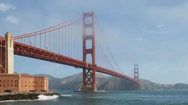
San Franciscans are waking up to a surprisingly mild Wednesday as a high-pressure system continues to dominate the Bay Area weather pattern. While February is typically characterized by brisk winds and the threat of seasonal rain, today offers a distinct break from the norm. Unseasonably warm temperatures are expected to persist throughout the day, providing a spring-like atmosphere across the city and the surrounding peninsula.
Morning Conditions: Fog and Cool Starts
The day began with temperatures hovering around 54°F under partly cloudy skies. Early risers may have encountered patchy fog, particularly in the North and East Bay valleys, which occasionally drifted toward the San Francisco shoreline. However, local meteorologists indicate this fog will dissipate rapidly as offshore winds strengthen. Humidity levels started the day relatively high at 79%, contributing to a crisp but manageable morning for commuters and students.
Afternoon Outlook: Sunny Spells and Peak Temperatures
As the sun climbs, the city will experience mostly sunny skies. Light offshore winds will help boost daytime highs to a peak range of 66°F to 68°F. These temperatures are roughly five degrees warmer than the seasonal average for early February. The chance of measurable precipitation today remains very low, estimated at approximately 15% for the afternoon hours, though conditions are expected to remain predominantly dry. It is an ideal day for outdoor activities, provided residents are prepared for the cooling temperatures later in the day.
Evening and Overnight Forecast
Conditions will remain calm as we move into the evening. The mercury is forecast to dip to an overnight low of approximately 51°F to 53°F. Skies will transition back to a partly cloudy state, and humidity is expected to settle around 67%. While the night will feel cool, it lacks the biting chill often associated with the height of the California winter season.
Critical Coastal Safety Alerts
Despite the inviting weather inland, the National Weather Service has issued a significant Beach Hazards Statement for the San Francisco County and Peninsula coastlines. While the most dangerous conditions are set to intensify late Wednesday night, officials are already warning of an increased risk of sneaker waves and strong rip currents. Key safety points include:
- Large Breaking Waves: Waves of 14 to 19 feet are expected along Pacific Coast beaches.
- Sneaker Wave Danger: These waves can sweep across the shoreline without warning, pulling individuals into the sea from rocks or jetties.
- Water Safety: Swimmers and surfers are urged to remain out of the water due to hazardous surf conditions. Always remember: never turn your back on the ocean.
Looking Ahead
This dry and warm pattern is likely to hold through the remainder of the work week. Forecasters are currently tracking a potential 20% to 40% chance of rain returning by Sunday, but for today, San Francisco remains under the influence of pleasant, sun-drenched high pressure.