Damp Mornings and Overcast Afternoons: San Francisco’s Midweek Outlook
A Stable but Gloomy Transition
As San Francisco progresses through the final week of February, the intense storm activity that characterized the earlier part of the month is beginning to taper off. For Wednesday, February 25, 2026, residents can expect a significant shift toward more stable, albeit stubbornly gray, weather. While the high-intensity rainfall that triggered recent flood concerns has moved south toward the Central Coast, the city remains under a thick blanket of marine moisture and high-altitude cloud cover. This creates a cool, damp atmosphere that will persist throughout the day, though major precipitation events are not expected for the immediate metropolitan area.
Morning Forecast: A Lingering Chill
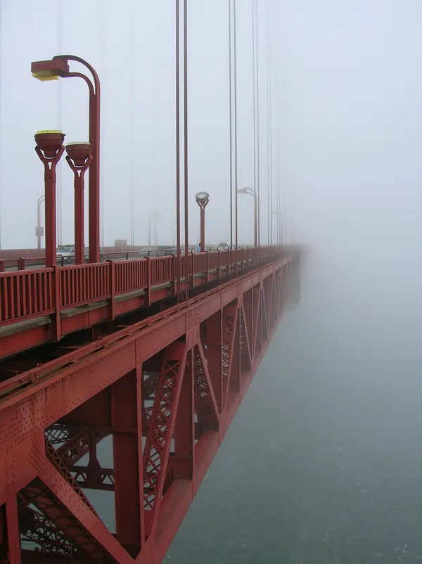
The early morning hours on Wednesday will likely be the dampest part of the day. Between midnight and the pre-dawn hours, the city is expected to see lingering light rain and intermittent sprinkles. These are the remnants of a departing low-pressure system that has kept the Bay Area saturated for several days. Commuters should prepare for temperatures hovering around 54°F to 57°F with a very high humidity level near 95%. While the rain will transition to a strictly overcast state by 4:00 AM, the roads will remain slick, and visibility may be limited in areas prone to low-hanging fog, particularly near the Golden Gate and Twin Peaks. By mid-morning, the chance of measurable precipitation drops significantly, though the sun will struggle to penetrate the 100% cloud cover.
Afternoon and Evening: Mild and Muted
Heading into the afternoon, temperatures are forecast to reach a mild peak of approximately 63°F. This is consistent with February averages but will feel cooler due to the lack of direct sunlight. Winds will remain relatively calm, coming from the south-southwest at a light breeze of about 6 to 10 mph. This gentle airflow will prevent the air from feeling biting, but it will not be strong enough to clear the heavy overcast. For those planning outdoor activities, the risk of rain remains at about 39% during the daylight hours, though any moisture is more likely to manifest as a light mist rather than a downpour. As evening approaches, temperatures will slowly dip back toward a low of 52°F. The overcast conditions will remain locked in through the night, providing a slight insulating effect that prevents a hard freeze.
Advisories and Road Safety
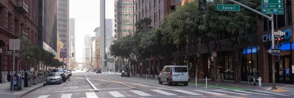
While the Coastal Flood Advisory that impacted the region earlier in the week has largely expired, the National Weather Service still advises caution near the waterfront. High spring tides combined with residual storm surge can still cause minor ponding in low-lying areas like the Embarcadero during peak tide cycles. Additionally, because of the prolonged period of rain leading up to this Wednesday, the soil in the surrounding hills remains highly saturated. Residents should stay alert for localized debris on roads in the North Bay and Peninsula. For those traveling through the city, the primary concern for Wednesday will be the damp pavement and the gray-on-gray visibility, making high-visibility gear essential for cyclists and pedestrians.
San Francisco apartment rent growth accelerates again as limited supply and tech demand tighten market conditions
Fog, Festivities, and First Thursdays: Your San Francisco Morning Briefing
City Bulletin: Housing Hearings, Transit Safety Projects, and Public Health Alerts