Hold Onto Your Hats: Sun and Strong Gusts to Sweep Through San Francisco
San Francisco is waking up to a day of sharp contrasts this Friday, March 6, 2026. While the city is set to be bathed in brilliant sunshine, the National Weather Service has issued warnings regarding a significant wind event that will dominate the local atmosphere. An "inside slider" weather pattern is currently reshaping the region’s conditions, ushering in clear skies but bringing along intense, blustery conditions that could impact commutes and outdoor activities throughout the day.
Morning: A Crisp and Clear Start
The early hours in the city will feel decidedly brisk. As the sun rises at 6:33 AM, temperatures are starting in the low 50s. The morning sky is expected to remain almost entirely clear of the typical San Francisco fog, providing excellent visibility. However, residents will immediately notice the northerly winds picking up speed. With humidity levels hovering around 56%, the "feels like" temperature may be a few degrees lower than the actual thermometer reading, making a windbreaker or a sturdy jacket essential for the early morning coffee run.
Afternoon: Peak Warmth and Shifting Breezes
By the afternoon, San Francisco will see its temperatures climb to a pleasant high of approximately 66°F to 68°F. This peak warmth is driven by a massive area of high pressure developing in the northeast Pacific. Despite the sunshine, the wind remains the primary story. Forecasts indicate that the prevailing north-to-northwest winds will shift to a more northerly and northeasterly offshore direction by the afternoon. This shift is a precursor to a warmer, drier weekend, but for today, it means persistent, gusty conditions across all city districts, from the Richmond to the Dogpatch.
Evening: Clear Skies and Cooler Air
As the sun sets at 6:08 PM, the city will cool down quickly under clear skies. Overnight lows are expected to settle near 51°F. The winds are likely to remain breezy through the night, though they may lose some of their peak intensity compared to the midday hours. The lack of cloud cover means that heat will escape the surface rapidly, so expect a chilly night for any late-night strolls along the Embarcadero.
Safety First: Wind Alerts and Advisories
The National Weather Service has highlighted several potential impacts due to today's wind event. Key details to keep in mind include:
- Gust Speeds: North to northwest wind gusts could exceed 40 mph, particularly in higher elevations and along the immediate coastline.
- Driving Hazards: Motorists driving high-profile vehicles should exercise extreme caution on the Golden Gate and Bay Bridges.
- Securing Property: Residents are advised to secure loose outdoor items, such as patio furniture or trash cans, which could become airborne in high winds.
- Fire Risk: While recent rains have kept the ground moist, the dry offshore winds are starting to dry out surface vegetation, leading to a slight increase in fire spread potential in localized areas.
This mix of sun and wind is setting the stage for an unseasonably warm weekend ahead, where temperatures could soar even higher, but for now, the city remains under the influence of these powerful coastal gusts.
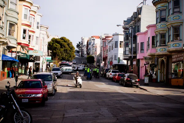
One dead and one hospitalized after late-night car and scooter collision in San Francisco’s North Beach
First Middle East-to-West Coast Nonstop Flight Since Iran War Lands at San Francisco International Airport
UCSF social workers demand tougher security, caseload limits after colleague Alberto Rangel was fatally stabbed on duty